Continuing our series of long walks to prepare for a possible through hike of the Kal-Haven trail, Jackie and I walked 16.72 miles today.
We walked to the University of Illinois’s arboretum, and then on through south Urbana to Milo’s where we had lunch. Then we walked to Meadowbrook Park and along the trail that goes along the south and west edges of the park, then through married student housing to the old Motorola building (where OLLI is now) to refill our water bottles, and then on home.
Jackie has asked that I specifically mention that we got a very close look at three juvenile Stufflesbeam (the plural of Stufflebeam, which is what we call ground hogs), just on the west side of the railroad embankment where Stadium Drive crosses Neil. One in particular stood just a few feet away, eating grass with great enthusiasm, close enough to give us a great view of his little nose.
Here’s what my tablet captured via Endomondo:
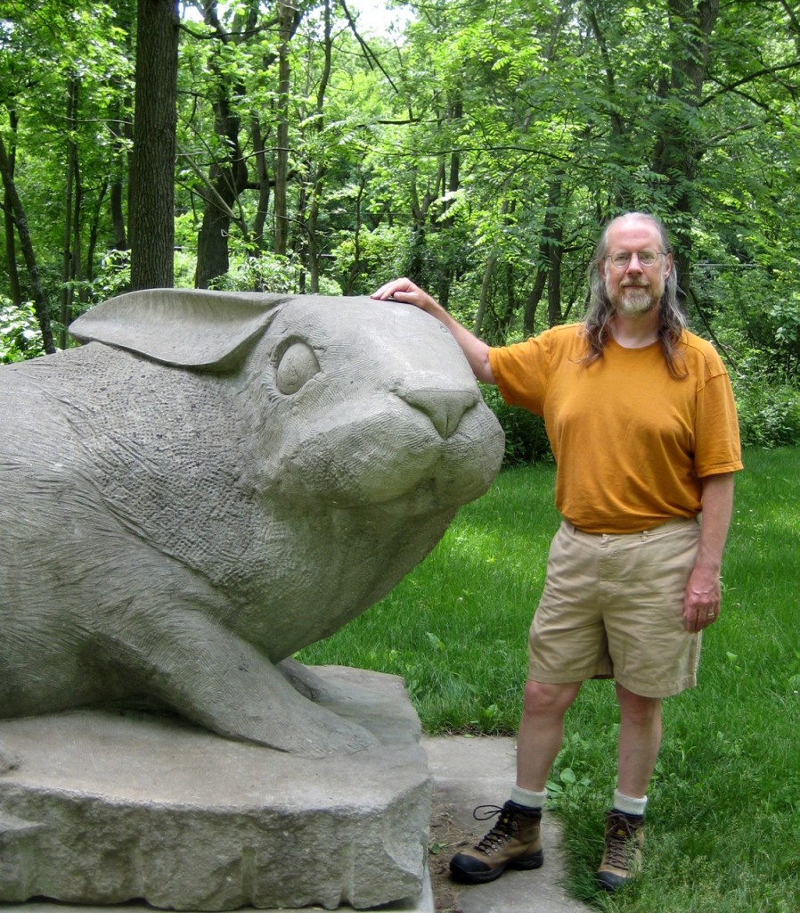
Jackie and I took a couple of pictures of one another with one of our favorite sculptures. We like this sculpture for various reasons, but one is that the very first time we came upon it, suddenly and unexpectedly as we took a turn in the path, we both had the same thought—and we both knew that the other was having that thought: “Anya wouldn’t like that!”
The picture Jackie took of me is pretty good—that’s what I look like. It’s of some interest to me because we took pictures with this sculpture a few years ago, and I didn’t like the pictures of me because of my weight at the time, and there was no way to crop the picture to hide my stomach and yet keep the rabbit sculpture.
I like this one better.
And, although Jackie just got an ordinary good picture of me, I managed to get a great picture of Jackie.
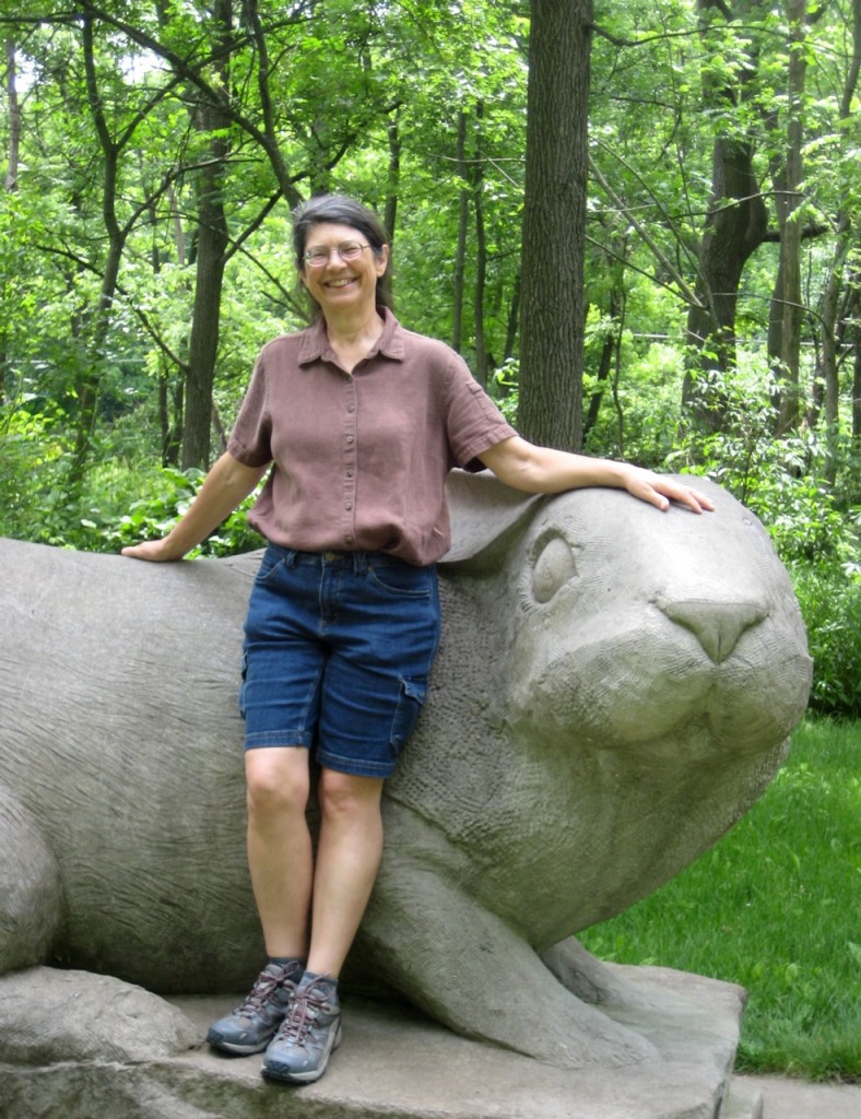
It’s a perfect picture of the Jackie I know—the Jackie I’ve been married to for 21 years.
 I’m going to be teaching a Tai Chi class this summer for the
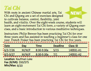
 The News Gazette had an article yesterday saying that the Champaign City Council has agreed to “schedule a study session” on the topic of legalizing